2020
Impact Report
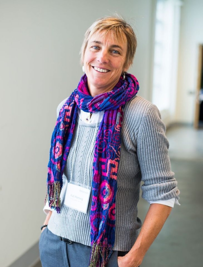
From Our Executive Director
It is a privilege to be able to report the achievements of Living Lakes Canada for the past year. These achievements belong to you, our donors, funders, and partners, as well as our team of advisors, directors, staff, and contractors.
We are in an unprecedented era where climate change is impacting and will continue to impact the quality and quantity of water in British Columbia, Canada, and around the world. At times, working to protect life-supporting freshwater ecosystems and build climate resilience into our communities can feel overwhelming. For the most part, we have learned to regard this work as a paradigm-shifting opportunity for collective problem-solving. This year, we have been able to build a team of energetic and intrinsically motivated individuals who continue to implement various concurrent stewardship projects ranging from the training of water monitoring groups to restoration, policy, and data management for our streams, lakes, wetlands, and groundwater wells.
There are many highlights from the year that your support has enabled:
• We soft launched the Columbia Basin Water Data Hub so we could have feedback in an iterative process to better serve the data collecting groups in the Canadian Columbia Basin.
• We hosted a senior hydrologists workshop where we reached consensus that a water balance approach is needed to logically and sequentially begin efforts towards filling water data gaps required for subsequent water budgeting in the ten hydrological subregions of the Basin.
• We developed a ‘Terms of Reference’ (ToR) for a Columbia Basin Water Monitoring Board and a ToR for a scientific advisory for a Columbia Basin Water Monitoring Board.
• With our partners, we completed year two of the ‘Sequencing the Rivers for Environmental Assessment and Monitoring’ program (STREAM) despite COVID field restrictions and launched collaborative work on the Eastern Slopes of the Rockies.
• Similarly, our four-year Foreshore Integrated Management Planning program (FIMP) successfully concluded its second year of lake surveys after updating the new Federal protocol in 2019.
• Additional observation wells were added to our Columbia Basin Groundwater monitoring program.
• We adopted and rebranded the North Kootenay Lake Water Monitoring Project to become the Kootenay Watershed Science under our Living Lakes Canada umbrella. The program continues to monitor seven stream sites, two high elevation snow courses, and three climate sites.
• We developed our plan for a National Lake Blitz.
• We participated in the Supercluster Innovation Fund for the Fresh Water Data Commons project.
• We have begun to understand how we can apply some elements of Truth and Reconciliation into our water stewardship work and had two MOUs signed by Ktunaxa Bands.
• We continue to be grateful for the opportunity of board and advisor support, without which this progressive work would not have been possible.

Kat Hartwig, Executive Director
Waterways Sampled
e-DNA water samples collected
citizen scientists trained
publicly available data sets
Columbia Basin Water Monitoring Collaborative
In the Canadian Columbia Basin, water resources and aquatic ecosystems are rapidly changing, revealing alarming gaps in scientific understanding. Facilitated by Living Lakes Canada, the Columbia Basin Water Monitoring Collaborative was initiated to coordinate a comprehensive and collaborative regional approach and methodology to water monitoring in the face of the climate crisis.
The goal of this multi-year process is to establish a unified monitoring framework and program in the Basin that applies a scientific water balance approach to help support and inform subsequent water budgets while avoiding siloed and redundant data collection.
In 2020, to lay the groundwork for design and implementation, Living Lakes Canada convened a senior hydrologist workshop involving government, consultants and academia. Greg Utzig, PAg, and Dr. Martin Carver, PEng/PGeo, PAg, provided a proposed approach to expanding the current monitoring network in the Basin to fill important water data gaps. The proceedings are available here.
“The biggest challenge that the Monitoring Collaborative could address is understanding the effects of climate change on water and aquatic ecosystems. A first step towards this goal is to understand the current state of water in the Basin, accomplished by adopting a water balance approach (that could) expand and build upon existing projects being conducted by stewardship groups.”
Dr. Natasha Neumann, Research Hydrologist with the BC Ministry of Forests, Lands, Natural Resource Operations and Rural Development on behalf of the Monitoring Collaborative Science Sub-Steering Committee
Columbia Basin Water Hub
Living Lakes Canada’s “Water Hub” is the central repository for water-related data in the Columbia Basin. It provides a secure platform for preserving, maintaining, and providing accessible, complete, and consistent water data of the Columbia Basin and facilitates increasing community resilience and adaptability to climatic change.
Advancing from a concept to a proven application, this has been an exciting year for the Water Hub. Significant consultation with water data users across the basin — local stewardship groups, government, Indigenous communities, and industry — preceded database development. Considerable testing, trialing, and recommendations gathered from our partners over the course of the year have now delivered a database that maintains data quality, adheres to different water standards, and is able to accept a wide variety of file formats. Together with a complementary suite of uploading tools and a data management plan, the Water Hub is now receiving and providing data to users across the Basin.
“The Hub has provided an excellent forum to host data meant for the public. It will generate greater use of the data gathered from our monitoring programs.”
Bill Coedy, Rossland Streamkeepers
Flow H2O & the Digital Supercluster
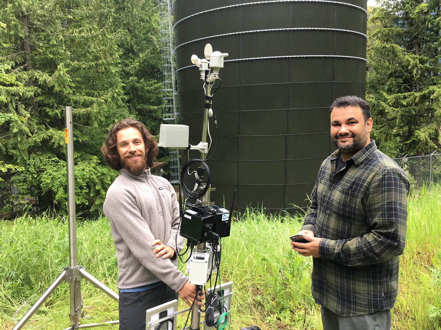
In 2020, Living Lakes Canada became a partner in FlowH2O, a pilot project of the Fresh Water Data Commons collaboration funded in part by Canada’s Digital Technology Supercluster.
The goal of FlowH2O is to acquire, compile and process in real-time large amounts of water data in a flexible, cost-effective and scalable way with a suite of technologies to understand immediate water management needs.
Living Lakes Canada was tasked with undertaking the field component of an eDNA research project led by the University of Victoria to assist with further validation of this emerging technology. We conducted two rounds of water sampling at select sites to capture eDNA for a number of target species with the goal of developing a greater understanding of eDNA applications and detection rates, while enhancing local conservation efforts by providing target species spatial information. Flow H2O also assisted with some of the development of the open source Columbia Basin Water Hub.
“The Fresh Water Data Commons is an exciting demonstration of the scope, scale and ability of using big data and predictive analytics for environmental monitoring. The technology developed can be expanded across Canada, and the world, for better understanding of the water balance in different ecosystems.”
Greg Johnston, President and CEO, Carl Data Solutions
STREAM/CABIN
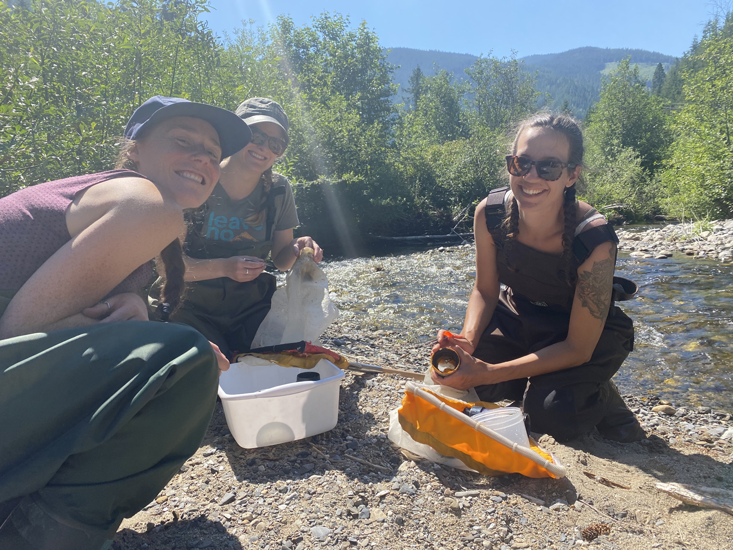
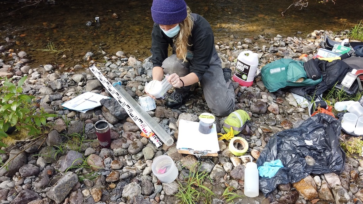
A partnership between Living Lakes Canada, WWF-Canada, University of Guelph and ECCC, STREAM (Sequencing the Rivers Sequencing the Rivers for Environmental Assessment and Monitoring) follows CABIN protocols to collect benthics then uses a technology called “DNA metabarcoding” to detect what species’ DNA is present in a water sample. Some species of bugs are more sensitive to pollution than others. An aquatic ecosystem’s health at a site can be assessed by identifying which species are present. STREAM uses environmental DNA to identify these species accurately, quickly and at low cost.
This year, through the generous support of our funders, we delivered three STREAM/CABIN workshops in Western Canada: Nelson (BC), Binche Keyoh (BC), Coleman (AB), training 19 community-based water monitors from seven different organizations. We also supported the collection of 229 water samples for assessment from across Canada.
“The support we received from Living Lakes Canada has been outstanding. It’s exciting to be part of a project making the collection and analysis of benthic invertebrate data simpler, more accessible, and less expensive for local watershed stewardship groups across Canada.”
Sofie Forsstrom, Oldman Watershed Council
Foreshore Integrated Management Planning
Foreshore Integrated Management Planning, or FIMP, is a framework used to map lake foreshore fish and wildlife habitats that promotes sustainable, land-use decision-making while conserving high-value habitats. Lake-specific FIMP reports are used by all levels of governments, First Nations, property owners, developers, and environmental consultants during strategic land-use planning, and during the designation of conservation or ecologically sensitive areas.
The original protocol, developed in 2004 in partnership with Fisheries and Ocean Canada, was comprehensively updated in 2019 through a series of reviews and comment opportunities. Four Living Lakes Canada-hosted workshops elicited recommendations from multiple levels of government, First Nations, local stewardship groups and independent consultants, who all contributed to this comprehensive methodological update, which includes protocols around First Nation Traditional Ecological Knowledge.
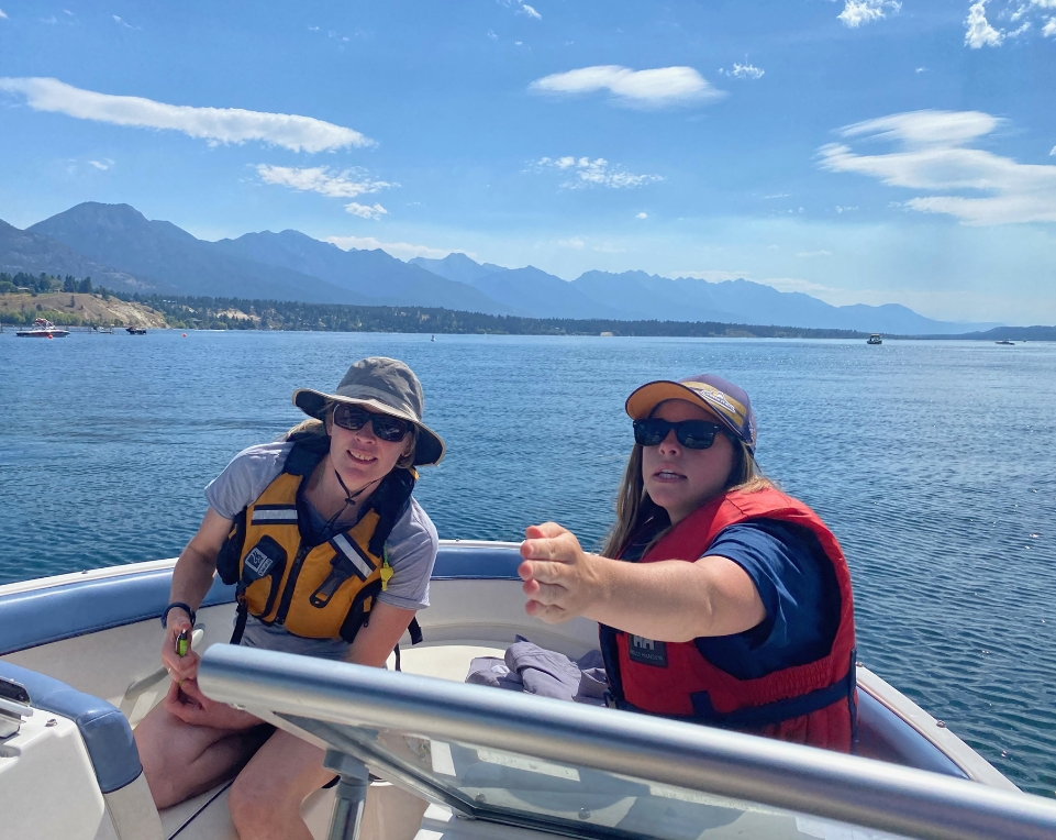
This summer, four lakes in the Basin were successfully surveyed using the FIMP methodology, as part of the second year of our four-year agreement with Fisheries and Oceans Canada and their Canada Nature Fund for Aquatic Species at Risk Program.
“Without the support of Living Lakes Canada we would not have been able to complete the important work of having Lake Windermere’s foreshore re-inventoried in 2020. The information and report generated from this project will be extremely valuable in supporting our work, and the work of local government to protect and improve Lake Windermere.”
Shannon McGinty, Lake Windermere Ambassadors
Presentations given
government collaborations
citizen scientists trained
fish passage assessments completed
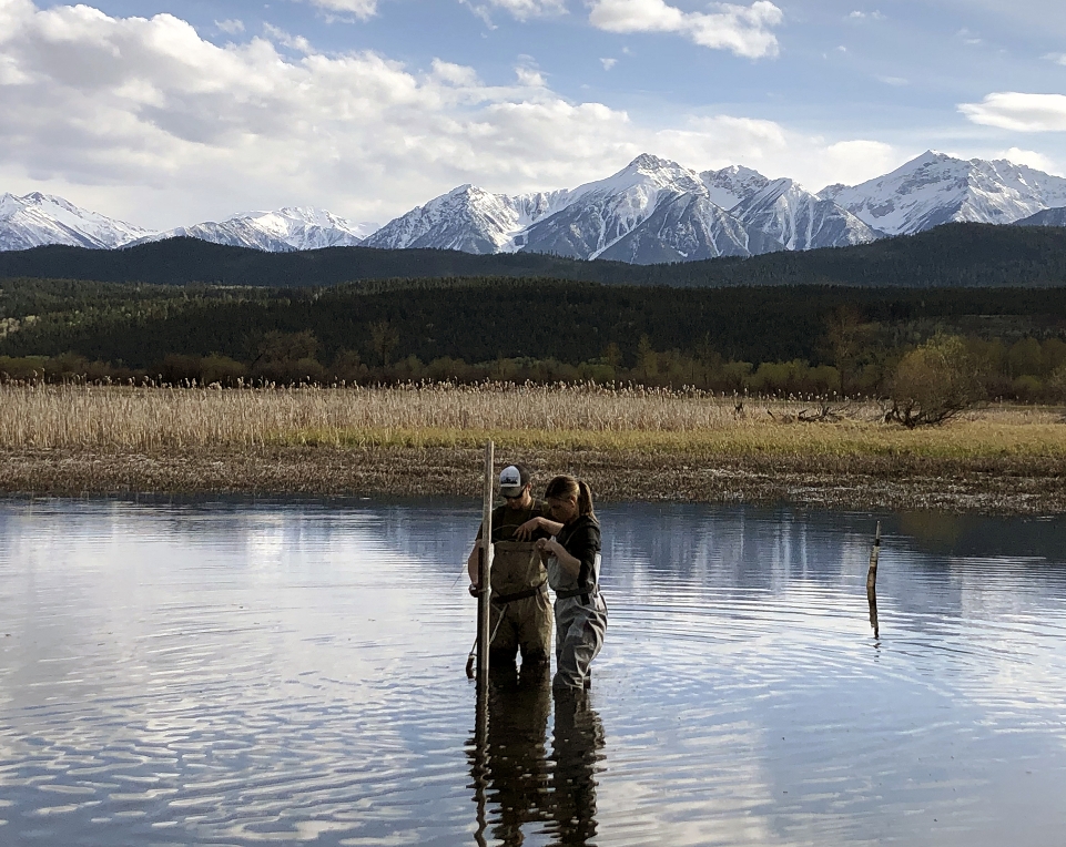
Columbia Wetlands
Living Lakes Canada was founded in the Columbia Valley, home to one of North America’s longest, intact wetlands systems: the Columbia Wetlands. This 26,000-hectare wetland system is a RAMSAR-designated wetland of international importance recognized for its biodiversity and as important resting and breeding habitat for migratory birds. It contains the only undammed section of the entire 2,000 kilometre-long transboundary Columbia River.
In a changing climate, understanding the role groundwater plays in keeping wetlands climate resilient can inform water management decisions in a way that will not only protect and preserve nature, but the important ecological services wetlands provide to society as well (holding floodwaters, removing pollution, sequestering carbon, etc).
In 2020, Living Lakes Canada assisted in installing a series of hydrometric stations and collecting water samples in the Columbia Wetlands near Invermere, B.C. This work was conducted for the Columbia Wetlands Stewardship Partners Hydrology Project, which is working to identify wetlands vulnerable to climate change and identify potential wetlands for mitigation activities.
“There is an important relationship between groundwater and wetlands. Isotopic samples have indicated the amount of groundwater recharging the wetlands in non-flow periods may be up to 80%. We need to balance the integrity of the wetlands with impactful land uses such as logging, mining, municipal and recreation uses and, in particular, the commercial extraction of water from important aquifers.”
Kat Hartwig, Living Lakes Canada Executive Director
Columbia Basin Groundwater Monitoring Program
Groundwater is a vital water source for people and healthy ecosystems. Our monitoring program collects groundwater level data to assess seasonal and long-term changes. Your ongoing support allows the program to collect valuable data and increase groundwater literacy to support the protection and management of this valuable resource.
The program identifies and assesses existing wells for their suitability for monitoring; establishes monitoring agreements with the well owners; secures, installs, and maintains monitoring equipment; trains and supports well owners to assist with monitoring; reviews and manages the data; and shares it publicly.
This year we identified and established six new Volunteer Observation Wells, bringing the total number of wells in the program to 20. We also completed our first annual summary report. The report and the data collected are shared publicly on the BC Real-time Water Data Tool and the Columbia Basin Water Hub.
“In the Grasmere area there is concern about decreasing groundwater levels. We are happy to provide a well on our property to Living Lakes Canada’s Groundwater program, so levels can be measured long-term and we can see what is happening throughout the year.”
Glen McDonald, McDonald Ranch & Lumber
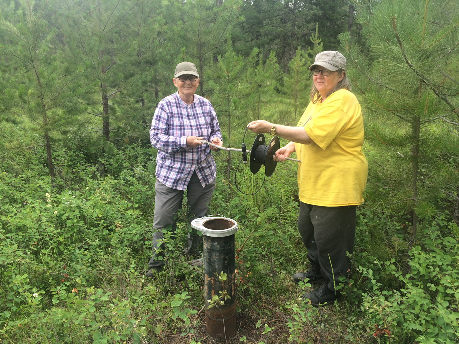
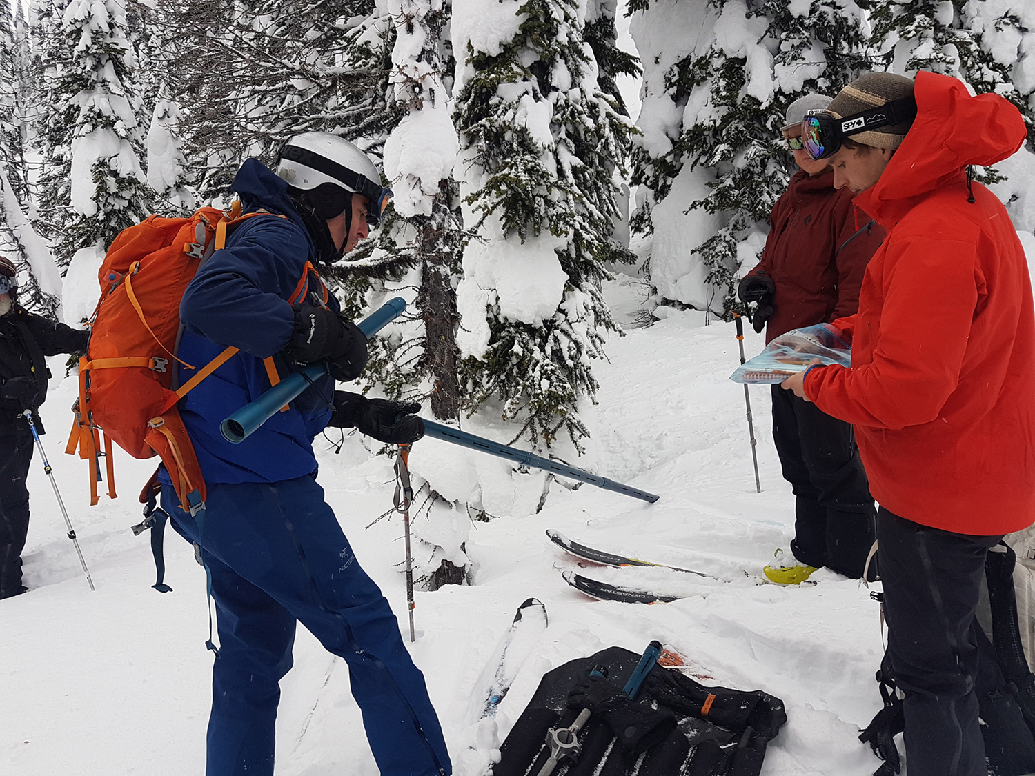
Kootenay Watershed Science
Kootenay Watershed Science, or KWS (formerly known as the North Kootenay Lake Water Monitoring Project), is building knowledge of watersheds in the north Kootenay Lake region through an extensive, high-quality monitoring network consisting of three climate, and seven streamflow monitoring sites. This knowledge enables decision makers, residents, and researchers to make decisions that will help ensure safety and sustainability for our communities under threat of a changing climate. From irrigation, to fish and wetland health, to drinking water, fire suppression activities and flood management, understanding our watersheds is essential to health, safety and quality of life.
In 2019-2020, all KWS data was made freely available online via partnerships with Aquatic Informatics and the Columbia Basin Water Hub, a new educational partnership with Selkirk College was established, and most significantly, we successfully collected another year of data at all of our sites, adding greatly to our understanding of Columbia Basin watersheds.
“Bringing KWS within Living Lakes Canada promotes resilience, and enables this program to continue to build an understanding of the watersheds in our region.”
Paul Saso, KWS Hydrologist
Kootenay Lake Partnership
The Kootenay Lake Partnership (KLP), facilitated by Living Lakes Canada in 2020, is an innovative governance model for all levels of government wanting to collaborate on issues facing Kootenay Lake, in particular, sensitive wildlife and aquatic habitat, shoreline mapping, and Ktunaxa archaeological and cultural values.
A Shoreline Guidance Document — developed collaboratively by the KLP and specifically by the Ktunaxa Nation Council, Fisheries and Oceans Canada, provincial Ministry of Forests Range and Natural Resource Operations, the Regional District of Central Kootenay, and the Ministry of Transportation and Infrastructure — directs shoreline development such as docks, retaining walls, or dredging activities in an effort to protect high-value shoreline.
We helped local and provincial government staff understand how to navigate the complexities of the document, and how to use this knowledge in their policy development and decision making. As well, we were able to provide shoreline development training to the Kootenay Association of Realtors.
“Living Lakes Canada and the Shoreline Guidance Document strengthened our ability to provide high quality environmental education to our lake community.”
Camille LeBlanc, Friends of Kootenay Lake Stewardship Society
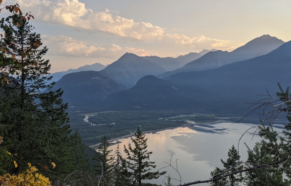
CBWM National Roundtable
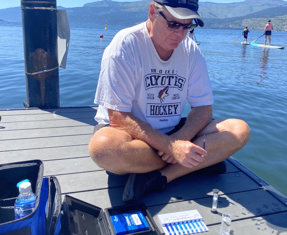
In 2018, Living Lakes Canada, The Gordon Foundation, and WWF-Canada convened a collaborative dialogue to identify actionable steps the federal government can take to show leadership and support in advancing community-based monitoring of freshwater ecosystems in Canada. All three organizations engage with Community-Based Water Monitoring (CBWM) in different ways and are committed to advancing collaborative and evidence-based water stewardship across Canada.
More than 50 leading Indigenous and non-Indigenous CBWM practitioners, water scientists, policy and data experts developed tangible recommendations that were released as a final report in 2019.
In 2020, Living Lakes Canada continued working with water leaders from across the country to encourage federal action on the CBWM recommendations. The group began by prioritizing the roundtable’s 64 sub-recommendations, landing on four as collective priorities that were framed in a letter to Minister of Environment and Climate Change Canada Jonathan Wilkinson which put into context why these priorities are important in today’s ever changing climate.
“Our organizations demonstrate how CBWM efforts play an important role filling gaps in our national knowledge around water health… CBWM networks are nimble, responsive and able to adapt quickly to the monitoring challenges climate change presents; CBWM data can be used alongside agency-collected data to address the key objectives of the new Canada Water Agency; and Indigenous CBWM programs can realize nation-to-nation water-quality commitments while improving understanding of water with vital knowledge from Indigenous communities.”
Letter to the Honourable Jonathan Wilkinson, Minister of Environment and Climate Change Canada
Organizations collaborated with
community-based water monitoring groups partnered with
First Nations partnered with
Our Financials
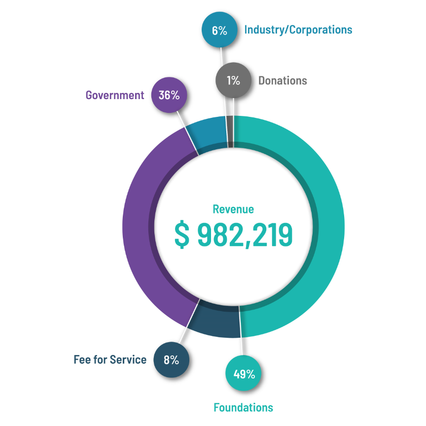
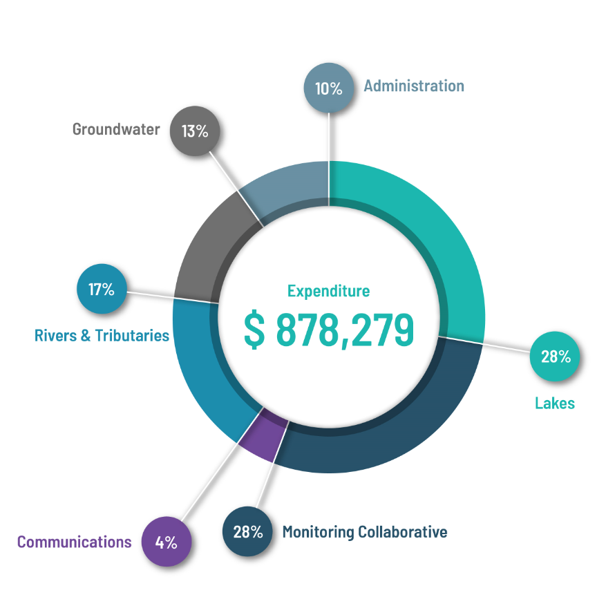
“These achievements belong to you, our donors, funders and partners, as well as our team of advisors, directors, staff and contractors.”
– Kat Hartwig, Executive Director
Our Funders
Our Partners
Thank you to our partners & collaborators, past and present.
Invest in Living Lakes Canada
Your support helps communities and decision makers access tools, training and data that help them create sustainable and healthy communities and ecosystems.
Donate Today


